ML: Earth Publication
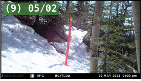
A new publication in Machine Learning: Earth (Wang et al., 2026) develops a method to classify the data quality and then extract snow depth readings automatically from thousands of time-lapse camera images. The demonstrate how vision foundation models allow snow depth monitoring in remote locations with minimal human input. Congratulations to the authors associated with the Center for Hydrologic Innovations!
- Abstract: Automated snow depth (SD) retrieval from time-lapse cameras is constrained by site-specific annotation and manual image quality screening, thus limiting scalability across deployments. We present a fully automated, zero-annotation pipeline that integrates text-prompted segmentation for snow pole detection with a vision language model for image quality control. Applied to 39 540 images across 48 site-years from three NASA SnowEx campaigns in Colorado and Alaska, the approach achieves a mean absolute error of 1.91 cm on the primary benchmark campaign and 1.98 cm overall across 12 663 labeled images without site-specific training. On cross-campaign transfer, the zero-shot pipeline reduced error by three to five times relative to a supervised keypoint model fine-tuned with per-site annotations. The vision language model classifies each image into quality tiers, identifies degradation causes, and distinguishes weather-related conditions from hardware issues requiring field maintenance. These results demonstrate that vision foundation models enable scalable, annotation-free SD monitoring from time-lapse imagery.