hydrology
AWM Publication
A new publication in Agricultural Water Management (Sharma et al., 2026) uses CubeSat imagery and OpenET data to track changes in crop types and water use in two irrigation districts with contrasting priority for deliveries. The authors quantified the changes in cropping type and water use, including estimates of groundwater reliance. Congratulations to the authors…

ASU Flow: Bridging the gap between water research and practice in Arizona
The Center for Hydrologic Innovations is hosting the 4rd annual ASU Flow event at ASU SkySong in Scottsdale, Arizona, on October 14, 2026, in collaboration with the Phoenix Chapter of the Arizona Hydrological Society.

Tracking Groundwater Change in the Santa Cruz AMA with the Arizona Water Observatory
In this tutorial, you’ll explore groundwater conditions in the Santa Cruz Active Management Area (AMA) using data available through the Arizona Water Observatory (AWO). We begin by retrieving the Santa Cruz AMA boundary, then identify groundwater wells within the AMA and retrieve depth-to-water observations for each well. Finally, we compare annual median groundwater levels with those…
Exploring Arizona’s Snowpack–Streamflow Connection with the Arizona Water Observatory
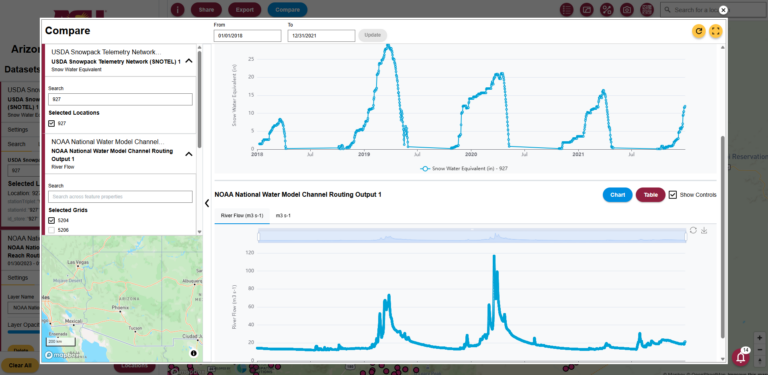
In this tutorial, we demonstrate how the Arizona Water Observatory (AWO) can be used to follow the movement of water through a watershed in Arizona. We begin with snowpack observations from a SNOTEL station in the San Francisco Peaks, then identify the watershed that receives the snowmelt. Next, we retrieve watershed-averaged soil moisture data from NASAʼs Soil Moisture…
Announcing the Launch of the Arizona Water Observatory
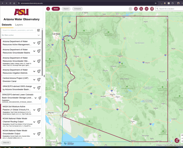
With the Arizona Water Observatory (AWO), ASU’s Center for Hydrologic Innovations and the Center for Geospatial Solutions at the Lincoln Institute of Land Policy have teamed up to develop a new open-source clearinghouse, visualization and analysis platform for Arizona’s water data. Through a series of quick start blogs, you can also learn how to use…

ASU researchers contribute to Arizona’s quest to sustain aquifer
A new report stems from the Arizona Tri-University Recharge and Water Reliability Project, includes contributions from Prof. Giuseppe Mascaro and Prof. Tianfang Xu from the Center for Hydrologic Innovations. The project goal was to analyze and identify mechanisms to capture water that would otherwise evaporate across the state and establish region-specific guidance about how and where water…
WRR Publication
A new publication in the journal Water Resources Research (Ghimire et al., 2026) examined the roles of fall soil moisture and spring weather on modulating snow-streamflow dynamics in the Colorado River Basin using the Variable Infiltration Capacity model. These findings indicate that in the Upper Basin, soil moisture can help predict how much water will…

Scientific Reports Publication
A new publication in the journal Scientific Reports (Wang et al., 2026) describes an updated version of the Variable Infiltration Capacity (VIC) model in the Colorado River basin. The revised model is compared to independent observations from GRACE and SMAP satellites. VIC supports short- and long-term streamflow forecasting and hydrologic investigations in the vital basin….

Arizona Water Observatory: A new platform for integrated water data and decision support
Congratulations to the team from the Center for Hydrologic Innovations that was recently featured by the Arizona Water Innovation Initiative! Center program manager Vivian Hobbins wrote ap update of the Arizona Water Observatory along with partners at the Center for Geospatial Solutions (CGS) at the Lincoln Institute for Land Policy.
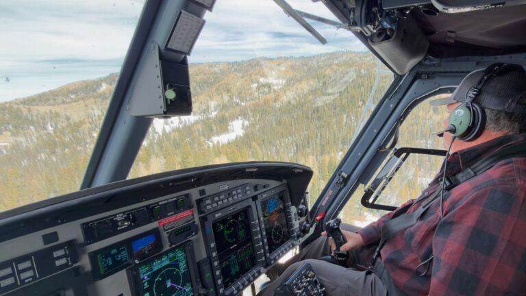
ASU-SRP snow surveys show much of Arizona’s headwater snowpack melted in weeks
Repeat airborne snow surveys over the Upper Black River found that due to a dry and warm winter, most of the snow water measured in January and February had melted by mid-March, offering water managers a view of how quickly the season changed. The first flight in January measured about 9.1 thousand acre-feet (TAF) of snow…