cyberinfrastructure

AHS Symposium Workshop
The Arizona Hydrological Society will host speakers from the ASU Center for Hydrologic Innovations during their annual symposium in Flagstaff who will present a workshop: Distributed Watershed Modeling for Flood Simulation: Bringing Research Tools to Practice. This workshop introduces participants to a new generation of watershed modeling tools by comparing HEC-HMS with tRIBS (TIN-based Real-time…

Tracking Groundwater Change in the Santa Cruz AMA with the Arizona Water Observatory
In this tutorial, you’ll explore groundwater conditions in the Santa Cruz Active Management Area (AMA) using data available through the Arizona Water Observatory (AWO). We begin by retrieving the Santa Cruz AMA boundary, then identify groundwater wells within the AMA and retrieve depth-to-water observations for each well. Finally, we compare annual median groundwater levels with those…
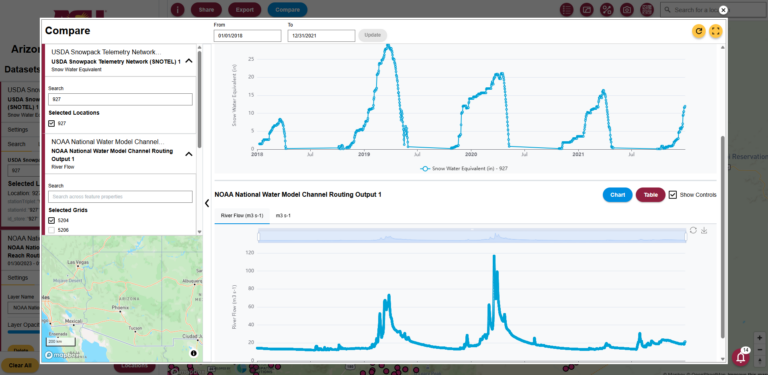
Exploring Arizona’s Snowpack–Streamflow Connection with the Arizona Water Observatory
In this tutorial, we demonstrate how the Arizona Water Observatory (AWO) can be used to follow the movement of water through a watershed in Arizona. We begin with snowpack observations from a SNOTEL station in the San Francisco Peaks, then identify the watershed that receives the snowmelt. Next, we retrieve watershed-averaged soil moisture data from NASAʼs Soil Moisture…
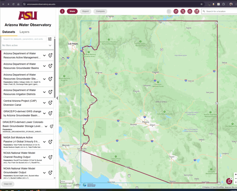
Announcing the Launch of the Arizona Water Observatory
With the Arizona Water Observatory (AWO), ASU’s Center for Hydrologic Innovations and the Center for Geospatial Solutions at the Lincoln Institute of Land Policy have teamed up to develop a new open-source clearinghouse, visualization and analysis platform for Arizona’s water data. Through a series of quick start blogs, you can also learn how to use…
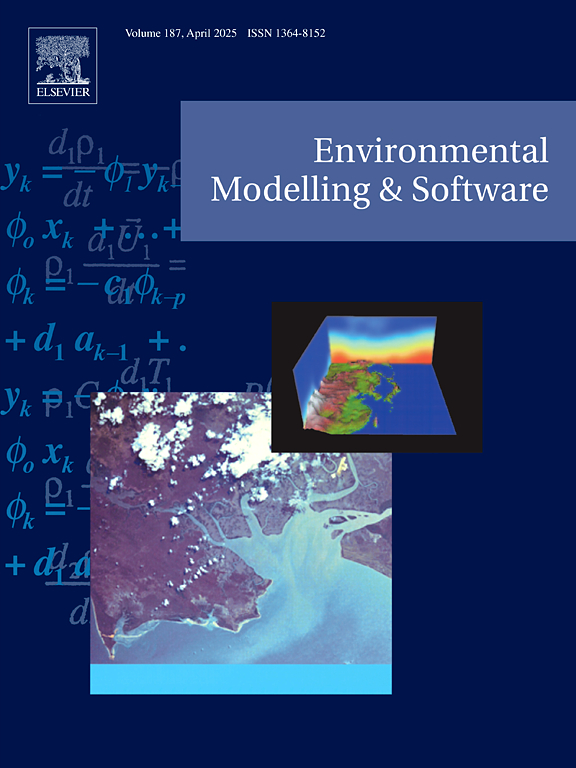
Environmental Modeling and Software Publication
A new publication in Environmental Modelling and Software (Raming et al., 2025) describes an open-source Python package to initialize, execute, and analyze tRIBS simulations. Congratulations to the authors associated with the Center for Hydrologic Innovations!