
Observatory
Advanced Water Observatory and Other Decision Support Tools
Visualization and Support Tools
The Center for Hydrologic Innovations collaboratively builds visualization and decision support tools that aid water resources managers. Technology-aided collaboration leads to new insights and provides quantitative measures that improve decision-making. Our tools support the Center’s Solution Spaces and form the backbone of efforts such as the Arizona Water Innovation Initiative.

Arizona Water Observatory
In collaboration with the Center for Geospatial Solutions and the Arizona Water Innovation Initiative, we are building a state-wide data visualization application for monitoring water conditions. By bringing together products from ground stations, remote sensing platforms and modeling systems, the platform enables better water management decisions through actionable and evidence-based maps and analytics.
Open Groundwater Data
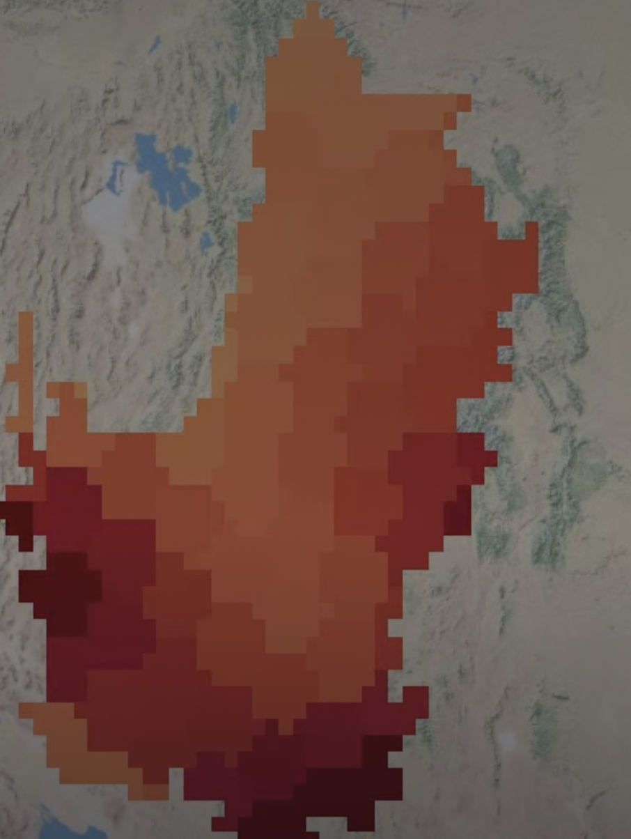
Open Groundwater (OpenGW) is a research-grade, open-access platform serving GRACE satellite-derived groundwater and water storage data for Arizona and the Colorado River Basin, built by the WISE group at Arizona State University. This tool allows exploring satellite-derived data, visualizing trends, analyzing time series, and downloading datasets for research and water management.

Arizona Agricultural Dashboard
This project develops a unified, farm-scale geospatial database for Arizona’s irrigated agriculture to identify and map “Attainable Evapotranspiration (ET)” benchmarks across the state’s key agricultural regions. The resulting dataset distinguishes between Current-ET and Attainable-ET, providing an unprecedented view of where and how water-use efficiencies can be improved at the farm level.

Surface Water Monitoring
This project develops a surface water monitoring application in Google Earth Engine that is based on Planet data and an algorithm for detecting surface ware presence using the Near Infrared Band. The application allows selection of any river basin in Arizona and the corresponding imagery and locations of stream gauging sites are displayed. A demo for the Hassayampa River water monitor is also available here.
Colorado River Integrated Assessment
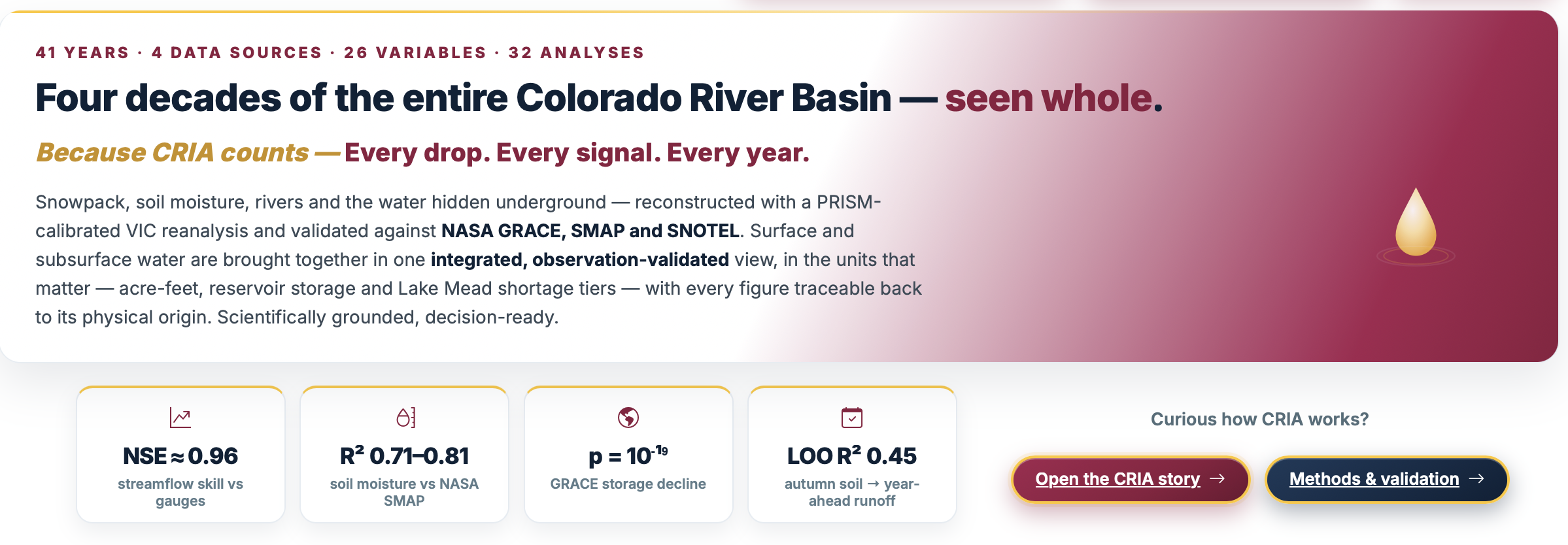
CRIA is an interactive decision‑support tool that fuses NASA Earth‑observation data with a validated VIC hydrologic reanalysis to deliver basin‑wide streamflow, snowpack, and reservoir status. It offers scenario projections, live reservoir levels, and an observation‑validated diagnostic chain, enabling water managers to assess supply, risk, and climate sensitivity without running complex models.
Colorado River Basin Explorer
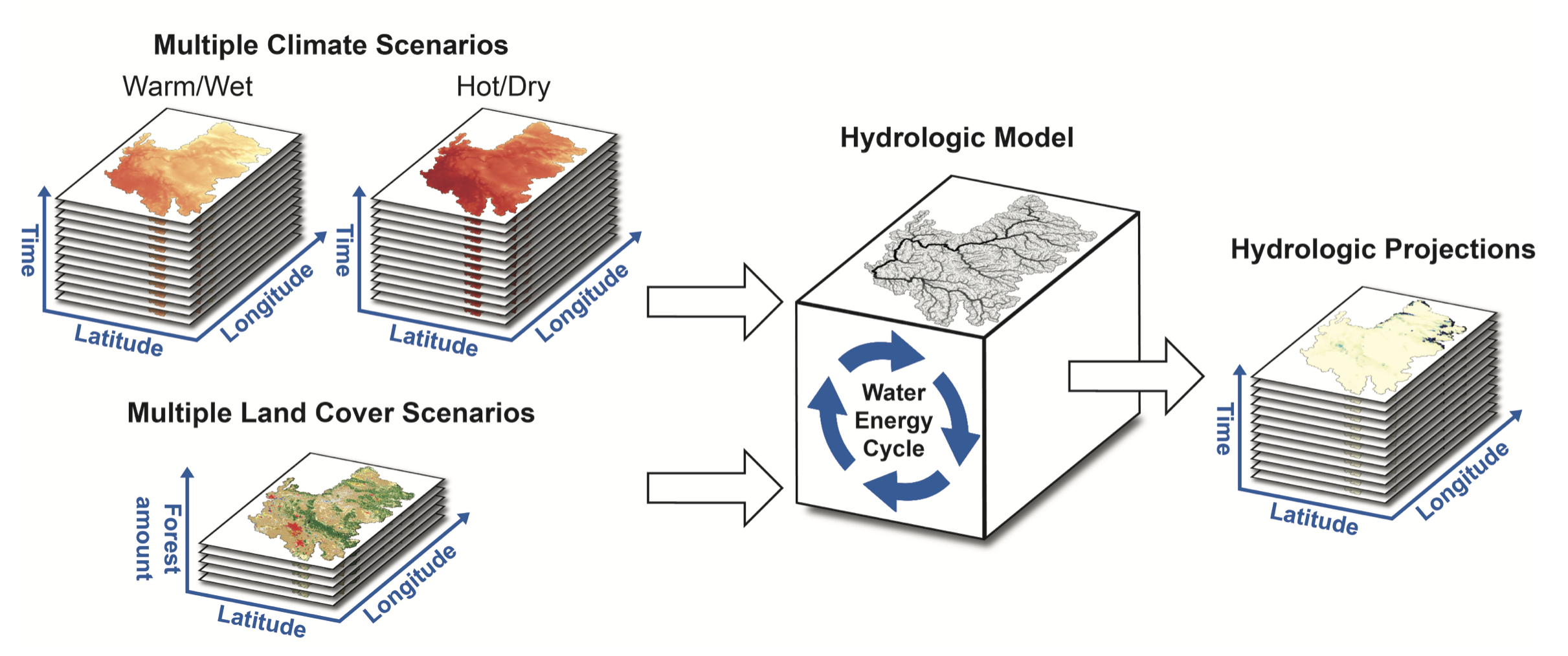
In collaboration with Central Arizona Project, we developed a web-based visualization tool to explore the outcomes of future scenario modeling of the Colorado River Basin. The results from the VIC model are displayed for Warm/Wet and Hot/Dry future climates up to the year 2100 under different levels of forest disturbance. The tool provides stakeholders the ability to explore potential future changes in this critical river basin.

Forest Hydrology Model Builder
In collaboration with Aquaveo and Salt River Project, we developed a visualization and workflow management tool for the tRIBS distributed hydrologic model and its applications for forest hydrology. When applied to watersheds in Arizona, the cloud-based system provides rapid model deployment and scaling of efforts to quantify water resilience and stewardship under proposed and on-going forest treatments.
tRIBS Hydrologic Model V6.0
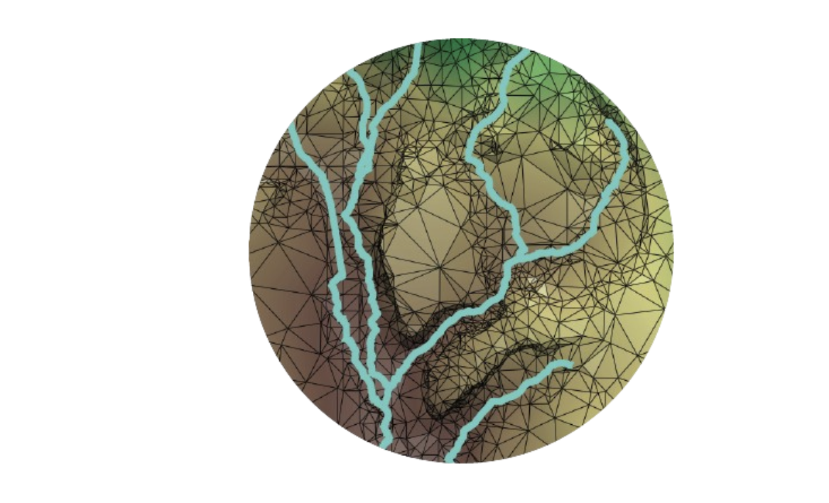
We maintain and update the TIN-based Real-time Integrated Basin Simulator (tRIBS) as an open-source ecosystem of modeling tools. A recent release, version 6.0, simplifies the user experience and streamlines the codebase, as described in the GitHub release notes. Recent efforts have focused on flash flood simulations in mountain systems, with a workshop sandbox available to new users.
Integrated Ag-MAR Assessment
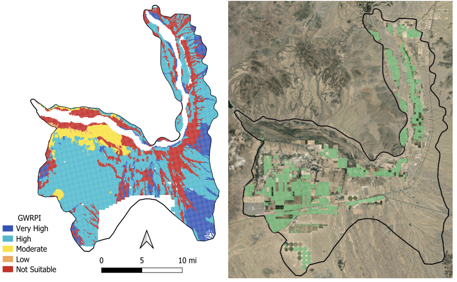
This project provides an integrated framework for evaluating Agricultural Managed Aquifer Recharge (Ag-MAR) by combining spatial suitability analysis, groundwater modeling, and simulation-optimization to identify suitable recharge locations, optimize water allocation, and evaluate groundwater response. The framework supports efficient evaluation and planning of Ag-MAR implementation in water-stressed agricultural regions.

Snow Cover Visualization
In collaboration with Planet and Salt River Project, we are building a web-based visualization and snow classification tool for the watersheds of Arizona. A machine-learning algorithm allows for high-resolution (3-m, daily) snow detection in forested areas. The products provide a rapid assessment of fine-scale snow variations in complex terrain and aid decisions on reservoir releases during the winter and spring seasons.